What is Watershed Democracy?
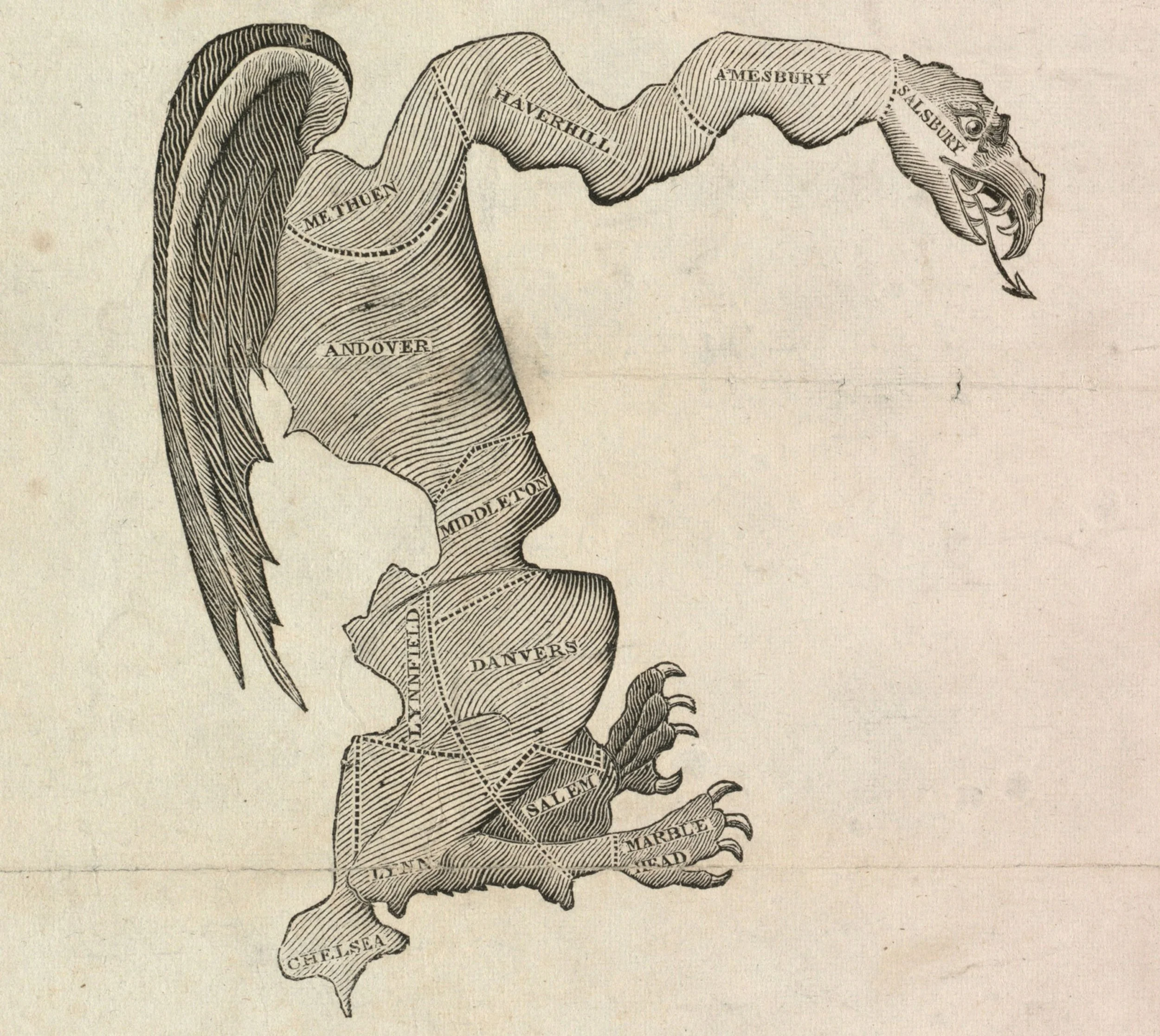
Political boundaries and water boundaries rarely match. A county line can split one stream in two, and a river can run through three states. The result is that people who share a flood risk or a water supply often have no shared way to make decisions about it, and gerrymandering further isolates communities with shared interests.
Watershed Democracy closes that gap by giving watersheds a formal place in how decisions are made.
How it Works
Start with the water.
Map the watershed. Every household, farm and town sits in one.
Nest the levels.
Small watersheds sit inside larger basins. Decisions are made at the smallest level that can handle them, and coordinated at the larger one when effects spill over.
Connect upstream and downstream.
Those who change the flow, through land use, drainage or flood control, answer to those who receive it.
Why it matters to policymakers
Districts drawn by hand can be bent to favor one party. Districts built from watershed boundaries and population counts leave no room for that, because no one person or party chooses where a line falls. People who share a river, and its flood risk, would share the same elected representatives.
How districts are drawn
* Find the smallest watershed that holds enough people for one full district.
* Locate the census block farthest from that watershed's drainage point.
The method uses watershed boundaries from the U.S. Geological Survey and population counts from the U.S. Census. It runs automatically, so no person or party decides where a line falls. The source code is public and open source, so anyone can check how the lines are drawn. LINK to the code repository.
* Add neighboring census blocks, tracking population, until the district reaches the target size.
* Repeat across the map until every census block is assigned.